
At DHC we are delighted to welcome our new volunteer Steve, who has lots of experience of creating interactive online maps. This can be a very engaging way to present material and we are already benefitting from Steve’s expertise as he’s made a map of the various fairs mentioned in Hutchins’ History and Antiquities of the County of Dorset. We hope you enjoy the map and look forward to your feedback on this type of blog.
—
Digital cartography has created many possibilities – adding images (still or moving), pop-up text, web links and audio to bring a map to life. It is also possible to map past events – if a place has a recognisable name and therefore a latitude and longitude, it can be mapped.
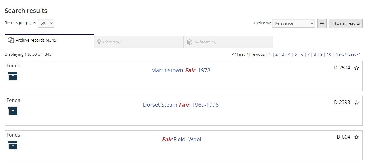
Hutchins’ “The history and antiquities of the county of Dorset” has a list of fairs recorded as being held in Dorset around the time of publication (1774). Hutchins’ list was not exhaustive – as a quick search for ”Fair” in the DHC Archive Catalogue suggests. However, the 4000 plus instances of the word “Fair” do not indicate a county given to excessive revelry. A fair was usually a market, but of course the word is an adjective, as well as common in place names e.g. Fair Mile, so it will appear in all sorts of documents.
The fairs map was created by making a file (.csv) of place names, latitude, longitude and details of each fair. It looks like this:
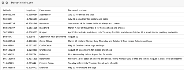
This file was then imported into ArcGIS Online and styled to create the location pins and pop-ups with information about each fair – as recorded in Hutchins. The map and further details can be seen here.
—
Steve’s work is a useful indication of how historical information can be represented in map format. We would be interested to know what aspects of Dorset’s history would you like to see ‘put on the map’ to help inform our work in the future?