
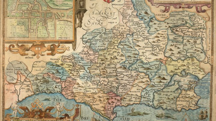
Mapping the Past: Hutchins and Dorset Fairs
At DHC we are delighted to welcome our new volunteer Steve, who has lots of experience of creating interactive online maps. This can be a very engaging way to present material and we are already benefitting from Steve’s expertise as he’s made a map of the various fairs mentioned in Hutchins’ History and Antiquities of… Read more Mapping the Past: Hutchins and Dorset Fairs
Recent Comments